Article successfully added.
| Quantity | Unit price |
|---|---|
| To 19 | €12.50 * |
| From 20 | €11.25 * |
| From 50 | €10.00 * |
Prices incl. VAT plus shipping costs
Ready for shipment: Delivery within 1-3 workdays
The Enroute Chart 1:1.000.000 (Enroute Chart) serves as a navigation, overview and planning... more
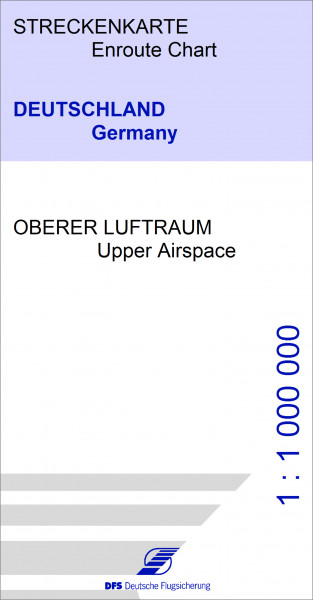
The Enroute Chart 1:1.000.000 (Enroute Chart) serves as a navigation, overview and planning chart for instrument flight. It shows air traffic routes, radio navigation facilities, airspace structure, airfields and restricted areas for the territory of the Federal Republic of Germany and neighbouring countries.
The front of the map shows the upper airspace, while the back of the map shows the lower airspace with FIS areas.
| Flight rule: | IFR |
| Manufacturer / Publisher: | DFS Deutsche Flugsicherung |
| Country / Continent: | Germany |
| Scale: | 1:1.000.000 |
| Medium: | Paper / Book / Magazine |
NEW
HIGHLIGHT
NEW
NEW
NEW
NEW
NEW
NEW
NEW
HIGHLIGHT
HIGHLIGHT
HIGHLIGHT
HIGHLIGHT
HIGHLIGHT
NEW
NEW
HIGHLIGHT
NEW
HIGHLIGHT
HIGHLIGHT
HIGHLIGHT
HIGHLIGHT
HIGHLIGHT
HIGHLIGHT
HIGHLIGHT
HIGHLIGHT
HIGHLIGHT
HIGHLIGHT
HIGHLIGHT
HIGHLIGHT
HIGHLIGHT
NEW
HIGHLIGHT
HIGHLIGHT
HIGHLIGHT
NEW
HIGHLIGHT
NEW
HIGHLIGHT
NEW
HIGHLIGHT
NEW
NEW
NEW
NEW
HIGHLIGHT
HIGHLIGHT
HIGHLIGHT
HIGHLIGHT
HIGHLIGHT
Eisenschmidt Spring Deal
Eisenschmidt Spring Deal
NEW
HIGHLIGHT
NEW
NEW
NEW
NEW
NEW
NEW
HIGHLIGHT
NEW
HIGHLIGHT
HIGHLIGHT
HIGHLIGHT
HIGHLIGHT
HIGHLIGHT
HIGHLIGHT
HIGHLIGHT
HIGHLIGHT
HIGHLIGHT
Viewed


